Drone Photography
Aerial 360° Photography, Aerial Video, Aerial Inspection

Drone Photography
Aerial 360° Photography and
Aerial Data Collection
Aerial 360° Photography and Aerial Data Collection
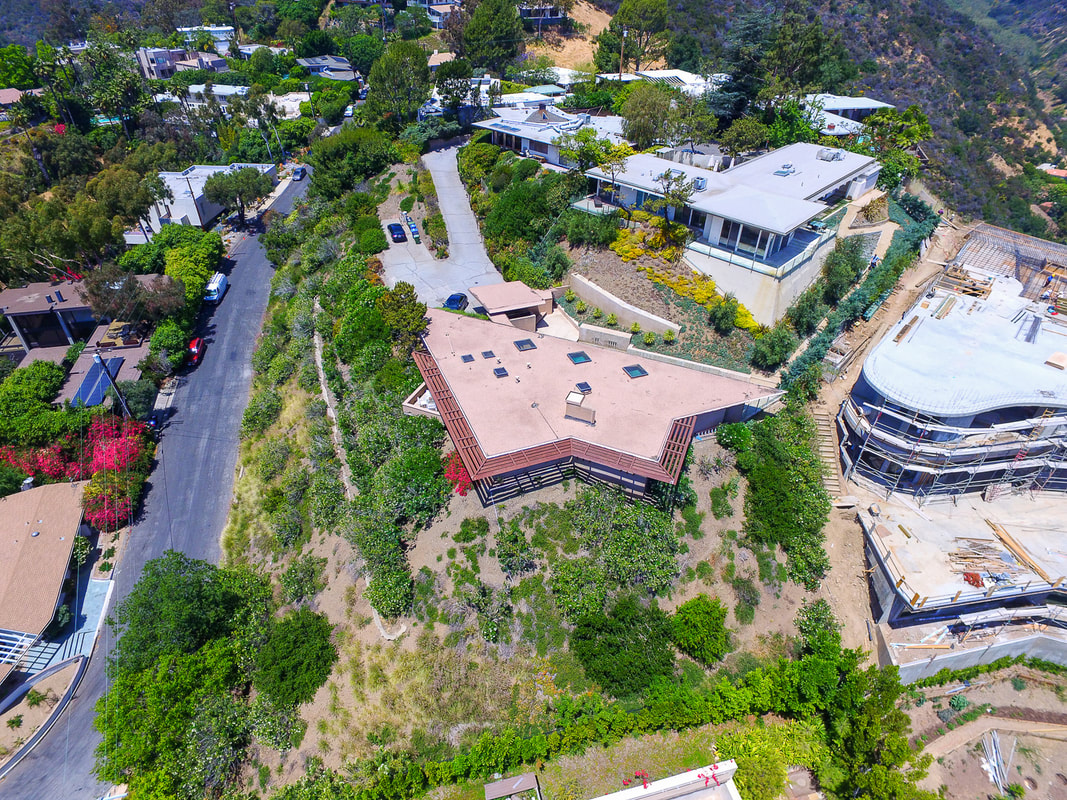
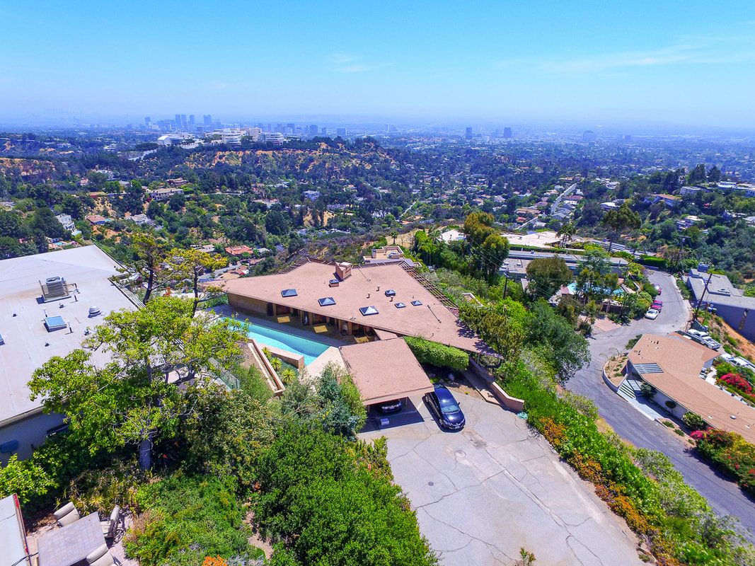
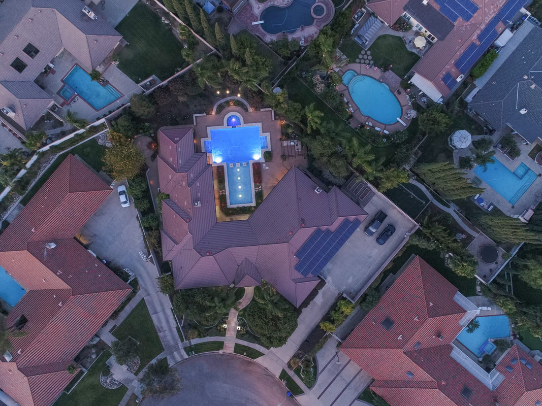
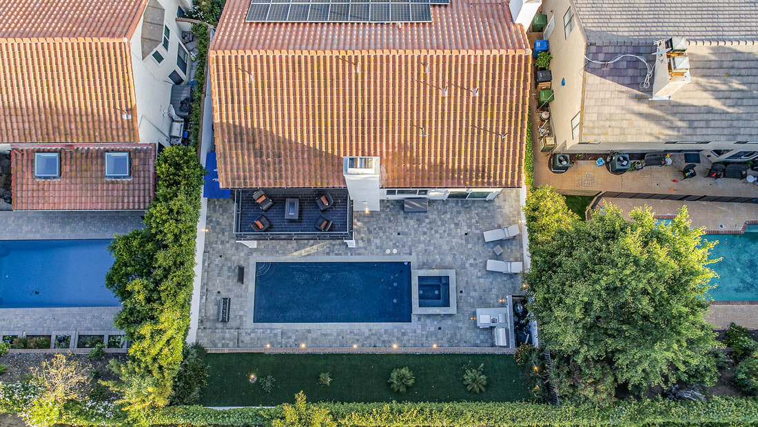
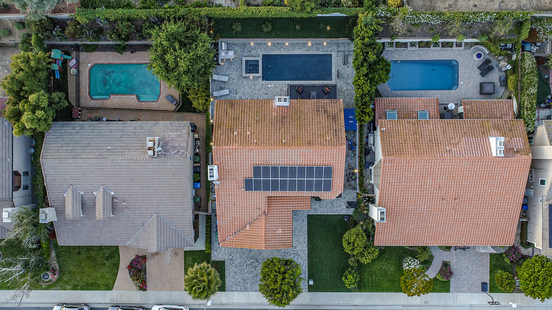
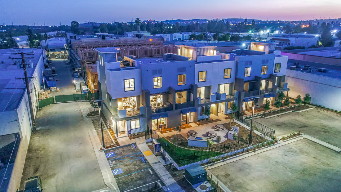
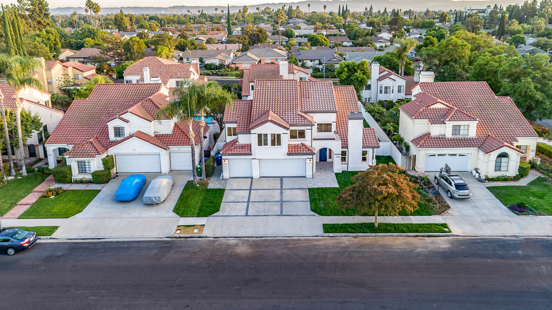
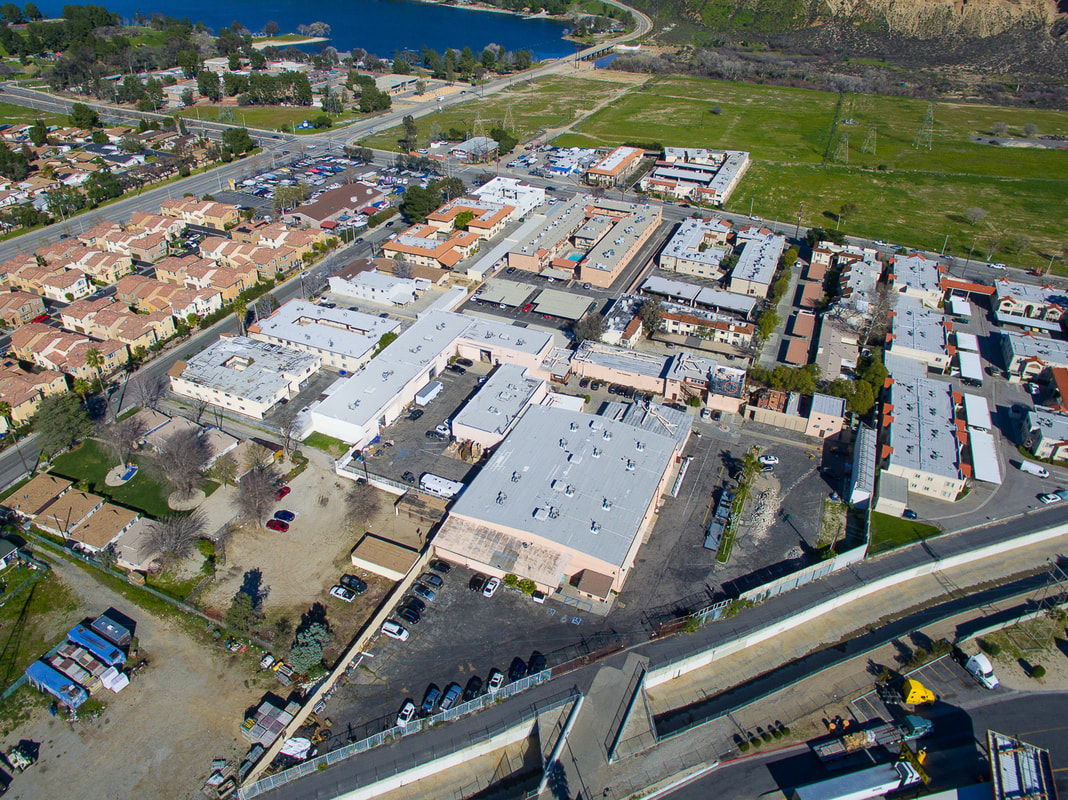
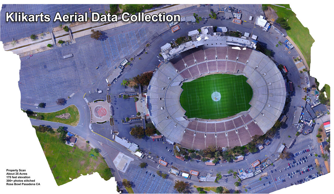
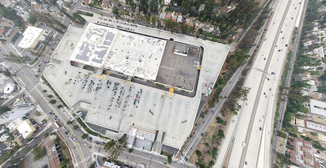
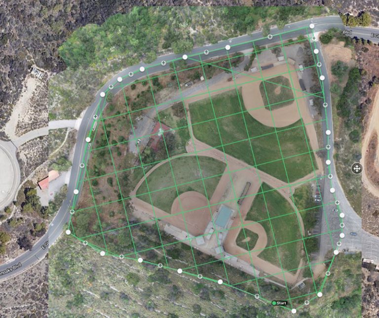
Aerial 360° Photography and Aerial Data Collection use special cameras mounted on drones to capture images and information from all angles, providing a complete view of an area. This technology helps to visualize a property in its surroundings, and enable the picture data to be analyzed and measured within .1% accuracy.
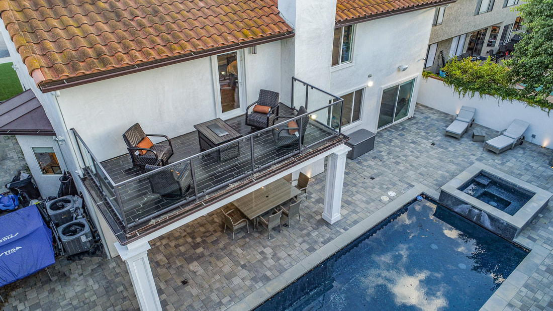
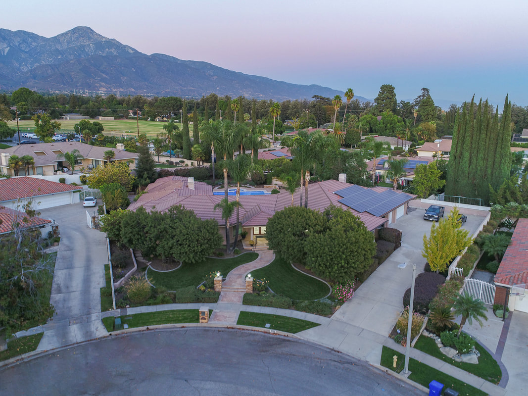
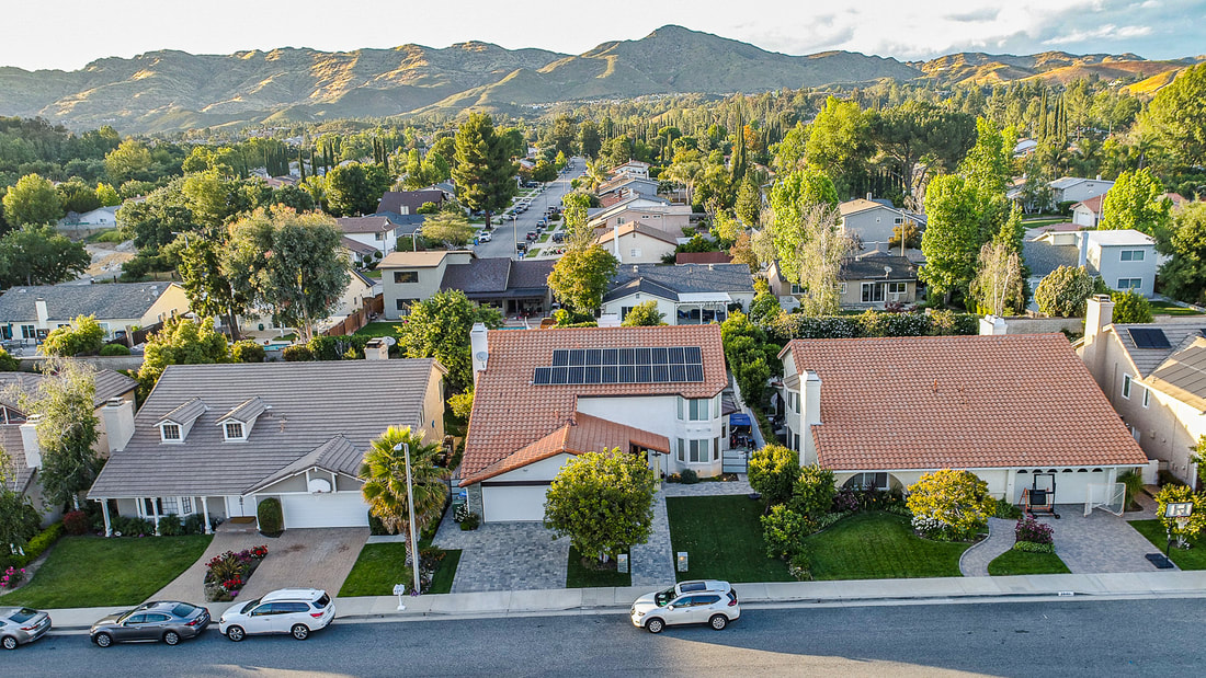
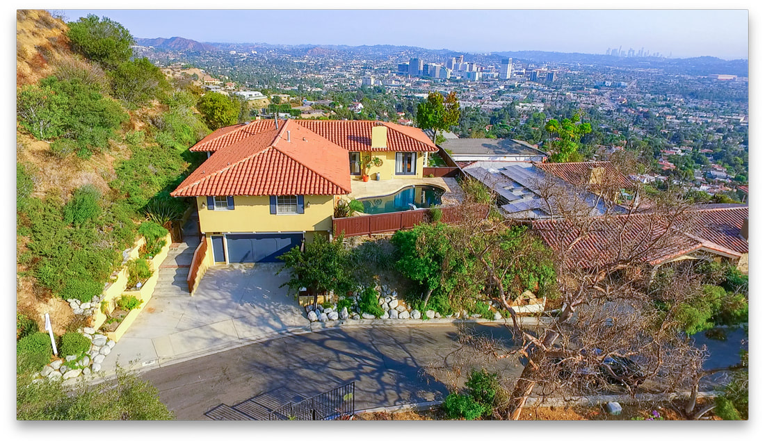
With Aerial 360° Photography, you can see a place from every direction. It's like standing in the middle of a scene and looking around in all directions at once. This is great for showing off real estate properties, tourist attractions, or event venues. People can get a full sense of what a place looks like before they visit.
Aerial Data Collection goes beyond just taking pictures. It uses sensors and cameras to gather information about things like temperature, humidity, and even air quality. This data can be useful for things like environmental monitoring, agriculture, or urban planning.
Klikarts can help with both Aerial 360° Photography and Aerial Data Collection. They have skilled pilots who can fly drones safely and capture high-quality images and data. They also have advanced technology to process and analyze the data collected, providing valuable insights for their clients.
For example, if you're a real estate developer, Klikarts can create stunning 360° aerial images of your properties, giving potential buyers a comprehensive view of what you have to offer. Or if you're a farmer, they can use aerial data collection to monitor crop health and optimize irrigation schedules.
No matter the need, Klikarts can tailor their services to help businesses and organizations harness the power of aerial photography and data collection. With their expertise and cutting-edge technology, they can take your projects to new heights.